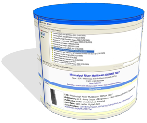
 EGIS Gateway is an ArcMap application which advertises available GIS data layers and maps. The purpose of the tool is to inform users of new developments in the enterprise GIS database and other available advertised databases.
EGIS Gateway displays a dialog that lists a catalog of published GIS data layers, maps, and announcements describing new additions to these items that have become available since the last ArcMap activation. EGIS Gateway uses RSS and ArcMap layer files to provide access to live GIS data presented with standardized symbolization and labeling options. Layers are classified in a taxonomy according to conceptual groupings. GIS layers, metadata, and map documents are directly accessible through EGIS Gateway.
The New Orleans District offers this software in the hopes that it is helpful. Neither the New Orleans district, nor the U.S. federal government make any warranties, expressed or implied concerning the accuracy, completeness, reliability, or suitability of the software for any particular purpose. The United States shall be under no liability to any person or organization by reason of any use made thereof. Redistribution of this software must adhere to licensing terms specified in Copying.txt and LICENSE in the client and server software, respectively. If the client is modified and redistributed, email source code modifications to the contacts listed at the end of this page.
|
Disclaimer The United States Government (the Government) furnishes these computer programs (along with any associated documentation) and the recipient accepts and uses them with the express understanding that the Government makes no warranties, expressed, or implied, concerning the accuracy, completeness, reliability, usability, or suitability for any particular purpose of the information and programs furnished. The United States shall be under no liability whatsoever to any person or organization by reason of any use made thereof. These programs belong to the Government. Therefore, the recipient further agrees not to represent these programs to anyone as other than Government programs. The recipient may not transfer these programs to others without also transferring this disclaimer.
|
Requirements
- ArcGIS 10.1 or later recommended for EGIS Gateway 4.0 Client
- ArcGIS 10.0 or later for EGIS Gateway 3.0 Client
- ArcGIS 9.2 service pack 6 or 9.3 for EGIS Gateway 2.1 Client
- Apache Tomcat 6.0 or later for JSP Wiki Server
- Java JDK 1.5 or later for JSP Wiki Server
Documents