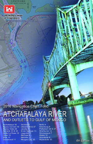
| The Atchafalaya River is located in central Louisiana. The approximately 170 mile river is fed by the Mississippi and Red Rivers, which are connected via the Old River Lock. Navigation is therefore reduced by almost 172 miles for vessels sailing between the Mississippi above the Old River Lock and the Intracoastal Waterway in southern Louisiana saving time, money, energy and reducing river traffic congestion near the Port of New Orleans. The USACE Navigation Data Center – Waterborne Commerce Statistics Center reported that in 2014, 11,750,231 tons of commodities were transported on the Atchafalaya River. The Atchafalaya River is a natural outlet for the Atchafalaya River Basin and it is the only riverine area building new ground near the Gulf of America. The U.S. Army Corps of Engineers (USACE) is responsible for providing data pertaining to navigation on and along the river. As part of a comprehensive mapping project, the USACE develops updated flood control and navigation maps as well as hydrographic survey maps for the Atchafalaya River. Updated Features include: - Land/ Water interface (New Bankline)
- Depth Areas
- Boat Ramps/ Pipelines
- Navigation Lights
- Bridge Lights
- Buoy Locations
- Revetments
- Notes (Facilities, Bridge Profiles, etc.)
| 
Order Books (Online) Download (PDF 38.5 MB) View Online Web Map
|