Geospatial Engineering

Redirecting...

2013 Mississippi River Hydrographic Survey Book

The Mississippi River, at over 2,300 miles long, is the longest river in the United States (when combined with its tributary Missouri River). It drains most of the area between the Rocky Mountains and the Appalachian Mountains. The U.S. Army Corps of Engineers (USACE) is responsible for providing data pertaining to navigation on and along the river. As part of a comprehensive mapping project, USACE developed updated Flood Control and Navigation maps as well as Hydrographic Survey maps for the Mississippi River.
          
2013 Hydrographic Survey Book

2013 Hydrographic Survey Book Cover


Updated
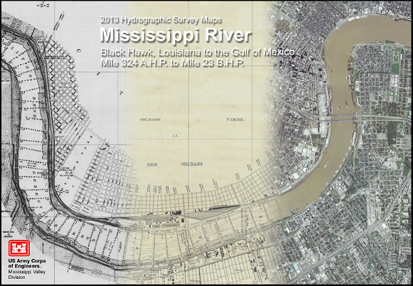
10-10-2014

The 2013 Mississippi River Hydrographic Survey Book consists of 74 map sheets mapped to 1:20,000 publication scale and 12 map sheets mapped to 1:10,000 scale. The book maps the Mississippi River from river Mile 324 AHP at Black Hawk, LA to the Mile 23 BHP at Gulf of Mexico.


Printed versions of these products may be purchased from the New Orleans District Map Sales function. Also prior book versions are available online from our Maps & Data pages.


Contact
Geospatial Engineering
CEMVN-EDD
Data can be requested under the Freedom of Information Act (FOIA):
Web: Office of Counsel
eMail: MVN FOIA Coordinator
Phone: (504) 862-2824